Maps from the Map Library
Collection at the University of Colorado Boulder
2020
Photo reproduction on paper of geological maps
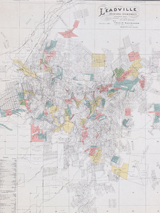
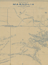
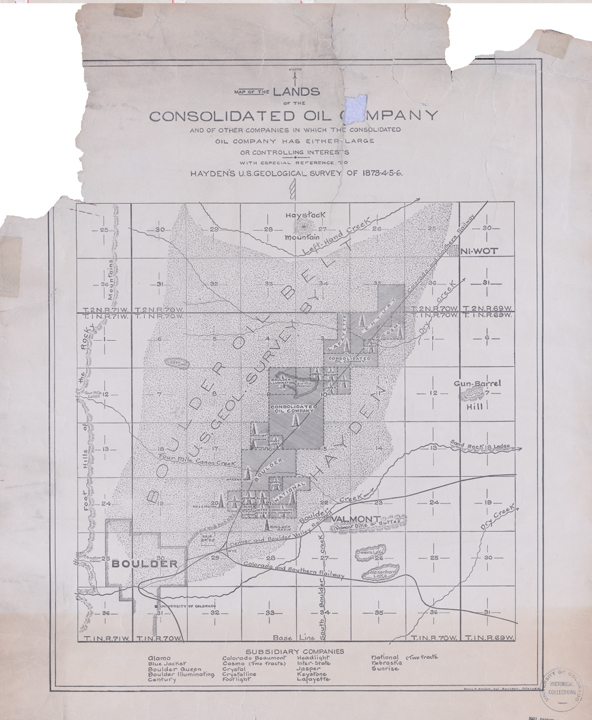
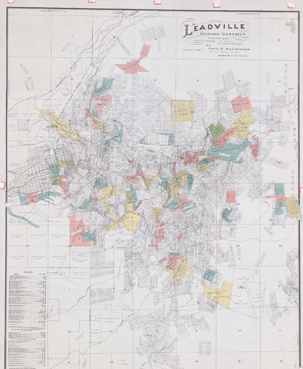
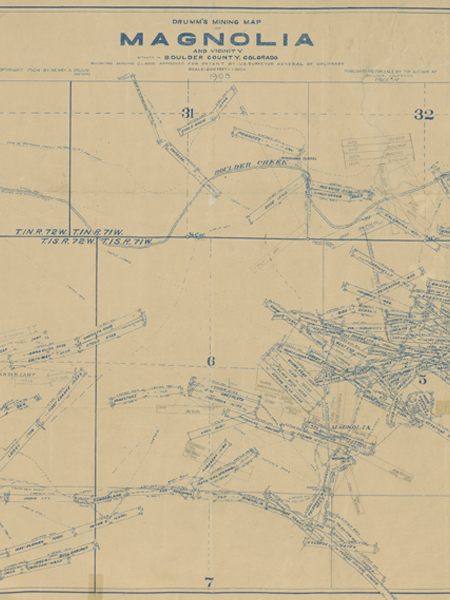
These geological maps show the history of mining and land use in Colorado's recent past. The maps highlight mineral extraction and demonstrate how humans exploit the ecosystem for everyday needs. Maps include Charles F. Saunders' Map of the Leadville Mining District; Ferdinand Vandeveer Hayden's U.S. Geological Survey of 1873-6, Map of the Lands of the Consolidated Oil Company; and Cannon's Map of The Mineral Belt of Colorado. 
|
|
|
|
|
|